Adelaide Hills (topographical) - 1898
Regular price
$22.50
Topographical map of Mt. Lofty Ranges region with relief shown by contours.In bottom left margin: A. Vaughan Photolithographer.
- Title: Topographical map of Hills District between Adelaide & the Bremer Ranges / W. Strawbridge
Creator: Strawbridge, William
- Created/Published: Adelaide : Surveyor General's Office, [1898]
Source: National Library of Australia - nla.obj-232197081
- Map has been digitally edited to improve contrast, colours and brightness to create a better quality print for jigsaws.
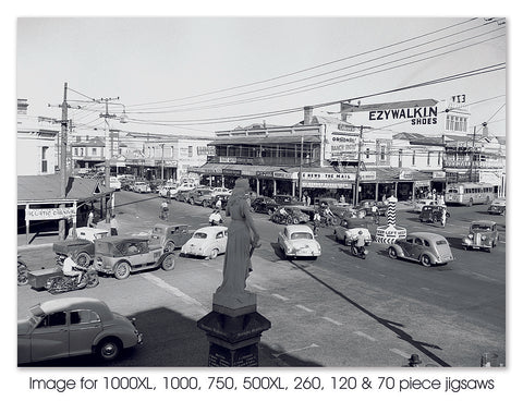
- *This is a difficult jigsaw to complete in 1000 pieces.
* Please note that images are a digital representation & actual historical map jigsaw may vary slightly.